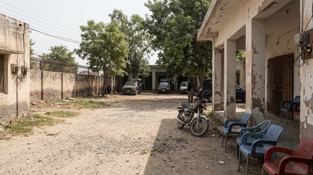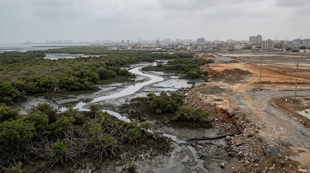
Satellite images from Pakistan’s space agency show that mangrove forests and natural tidal creeks along Karachi’s coast near the Mai Kolachi Bypass have given way to reclaimed land and urban plots between 2000 and 2025, a change the agency links to higher flood and erosion risk.
The Space and Upper Atmosphere Research Commission (Suparco), which runs the country’s civil space programme, said zones that once had continuous mangrove cover and tidal channels have been turned into filled land and building plots. That shift, it said, moves the shoreline from living, ecosystem-based protection toward hard, land-heavy development that is less able to absorb climate stress.
What Suparco says mangroves do — and what is lost
Suparco noted that mangroves help regulate coastal temperatures, trap sediments and take up carbon from the air. Clearing them removes a so-called blue-carbon store — carbon held in coastal wetlands — and breaks the water links between land and sea. The result, it said, is more surface runoff and altered tidal flows.
Over time, the agency warned, that pattern raises the chance of localised flooding, unstable shorelines and gradual land subsidence, when ground sinks. Turning mangrove wetlands into built-up areas, it added, strips natural resilience just as sea-level rise and extreme weather become more common.
Unlike concrete walls and embankments, mangroves can adapt and grow back, so their protective value can increase. Replacing them with fixed infrastructure, Suparco observed, shifts climate risk onto buildings, roads and the people who live and work beside them.
Calls for protection, and silence from officials
Climate policy specialist Mohammad Saleem Shaikh said Pakistan must guard its mangrove forests and natural tidal creeks, arguing that their destruction endangers coastal communities, livelihoods and economic stability. Pointing to the Suparco evidence for Mai Kolachi between 2000 and 2025, he pressed for urgent steps to stop further damage.
He said mangroves store carbon, slow coastal erosion, blunt storm surges and support fisheries and wildlife. Losing them, he warned, could leave Pakistan more exposed to rising seas, cyclones and other climate threats, especially along Karachi’s shoreline and the Indus Delta — the river’s low-lying coastal mouth in Sindh.
Mr Shaikh asked the federal and Sindh governments to tighten environmental enforcement, block encroachment and require full environmental assessments for coastal projects. He also sought open satellite monitoring, community involvement and science-based restoration using native species, treating mangroves as natural climate infrastructure for disaster resilience.
Senator Sherry Rehman, who chairs the Senate Standing Committee on Climate Change, declined to comment. Karachi Mayor Murtaza Wahab did not reply to messages.
Contrast in Sujawal’s Shah Bandar
Elsewhere, imagery from 2019 to 2026 on Suparco’s Space4Climate page showed a large mangrove planting effort in the Shah Bandar area of Sujawal. Across 19 study zones, mangrove cover rose 115% from a 2019 baseline of 116.46 hectares. New mangrove growth of 151.24 hectares made up about 6.5% of a 2,321.8-hectare study area — a reminder that cover can expand where restoration is pursued, even as Karachi’s Mai Kolachi stretch shows the opposite trend.
Timeline: what has happened so far
- 2000: Suparco’s earlier satellite baseline shows continuous mangrove cover and natural tidal creeks near Mai Kolachi Bypass.
- 2000–2025: Progressive conversion of those wetlands into reclaimed land and urban plots, per Suparco’s comparative images.
- 2019: Shah Bandar (Sujawal) study baseline records 116.46 hectares of mangrove forest in the areas analysed.
- 2019–2026: Afforestation in Shah Bandar lifts mangrove cover by 115%, with 151.24 hectares of new vegetation in the study zone.
- 2025: Later Suparco images document the built-up shift along the Karachi Mai Kolachi coastal strip.
Aasan alfaaz mein
Karachi ke Mai Kolachi ke paas mangroves kaat kar zameen bhar di gayi hai, Suparco ki satellite tasveeron ke mutabiq. Mangroves samundar ke kinare ko flood aur katar se bachate hain. In ke khatam hone se shehar mein pani bharne aur kinara tootne ka khatra barh sakta hai. Jahan lagaye gaye — jaise Sujawal ke Shah Bandar — wahan junglat barhe hain, lekin Karachi wala hissa ab zyada risk mein hai.