What happened on day four
The UN-Pakistan Conference moved into its fourth day on 30 October in Islamabad, with attention on GeoAI, mapping tools and satellite work aimed at climate resilience and cutting disaster risk. Pakistan’s Space and Upper Atmosphere Research Commission (SUPARCO) is hosting the gathering, which is framed around using space systems for the Early Warnings for All (EW4All) push, climate action and assessing disaster risk.
Organisers labelled the day “Innovation, Youth & Field Experience.” Speakers included specialists from home and abroad, academics and early-career professionals looking for practical, tech-based answers on resilience, risk reduction and alerts before hazards strike.
GeoAI tools and youth research sessions
Two technical blocks shaped the programme. The first, on innovative tools and GeoAI—geospatial artificial intelligence that combines maps, sensors and machine learning—looked at UN-SPIDER’s place in EW4All, careful use of GeoAI in disaster work, and how mapping systems can support wider social and economic change. Talks ranged across AI for multi-hazard risk scoring, climate-linked health analysis, more proactive warning agents, satellite studies of possible earthquake signals, and software that estimates building damage.
The second block gave the floor to rising researchers. Topics included landslide checks from orbit, GeoAI case work, snow-cover shifts and glacial lake outburst flood (GLOF) threats in the Hunza Basin, predicting river flow where gauges are scarce, AI for flood response, rebuilding settlements for a warmer climate, and watching cities sink. Further papers touched decentralised alert networks, climate swings, and estimating plant biomass with LiDAR laser scanning plus machine learning. The slot underlined how universities and young teams are feeding usable ideas into national climate and disaster planning.
Paris Agreement panel and NDMA visit
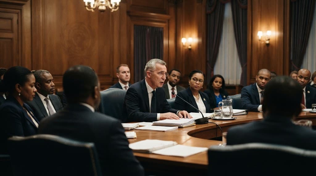
A separate discussion asked how space systems can help deliver the Paris Climate Change Agreement. Specialists from Pakistan and China weighed satellite observations, geospatial insight and other space-enabled methods for tracking the environment, guiding policy and backing sustainable growth. Voices came from the Ministry of Climate Change and Environmental Coordination, SUPARCO, China’s Aerospace Information Research Institute, the Global Change Impact Studies Centre and the National University of Sciences and Technology (NUST). The Sustainable Development Policy Institute (SDPI) moderated.
Participants also went to the National Disaster Management Authority (NDMA) to see how institutions prepare, respond and use technology when managing risk.
Timeline: what has happened so far
- Thursday: Third day of the Pakistan–UN International Conference in Islamabad; space systems and satellite-based climate intelligence led the agenda, with experts from Pakistan, China, Tunisia, Thailand, Italy and elsewhere.
- Thursday: Three technical sessions and two panels covered carbon and air monitoring, forests, groundwater, farm water, multi-hazard and drought analysis, resilient infrastructure, and tech-aided crop-loss and risk-finance ideas under EW4All.
- 30 October: Fourth day theme “Innovation, Youth & Field Experience”; GeoAI and youth-led research sessions, then the Paris Agreement space panel.
- 30 October: Conference guests toured the NDMA on institutional disaster readiness and technology in the field.
Aasan alfaaz mein
Islamabad mein UN aur Pakistan ka conference chalta raha, aur chauthe din GeoAI aur jawanon ki research par baat hui. Experts ne bataya ke satellites aur AI se floods, glaciers aur disasters pehle se samajh sakte hain. Pakistan aur China ke logon ne Paris Agreement ke liye space data par discussion ki. Aam logon ke liye matlab yeh hai ke behtar early warning se jaan o maal bachane mein madad mil sakti hai.